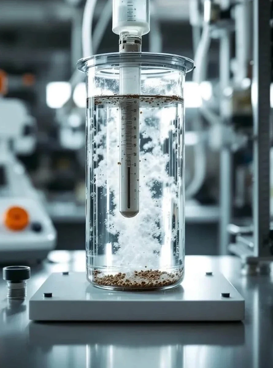
Construction in Mississauga rarely plays out on a blank canvas of perfect material. The city’s glacial history left behind a patchwork of silty tills, sandy outwash from the Credit River valley, and pockets of the Halton Till that can fool an excavator operator within a single lot. When a site straddles the transition between the Peel Plain clay and the lacustrine sands near the Lake Ontario shoreline, guessing the gradation means gambling with compaction specs, frost-heave potential, and even the drainage design. A complete grain size analysis—running stacked sieves for the coarse fraction and a hydrometer for fines that pass the No. 200—tells you exactly what you have beneath the topsoil. With Mississauga’s rapid infill development pushing projects onto marginal parcels, that laboratory curve becomes the first real conversation between the geotechnical report and the budget. We often pair the gradation data with an Atterberg limits evaluation when the silty-clay fraction exceeds 12 percent, because once the index properties confirm a CH or MH classification, the structural fill strategy changes completely.
A gradation curve built from both sieves and hydrometer is the difference between a fill spec that works and a compaction dispute that stalls the project for weeks.
How we work
Ontario’s Building Code (OBC) references ASTM D6913 for sieve analysis and ASTM D7928 for the hydrometer method, and that dual standard is what separates a screening test from a defensible design input. In a city where winter construction means frozen stockpiles and spring brings saturated subgrades, the fines content measured by hydrometer directly governs the soil’s susceptibility to frost action under CSA A23.3 exposure classes. A developer breaking ground near the 403 corridor, for instance, needs to know whether the native silty sand classifies as SM or SC—the difference affects everything from foundation drain design to the pavement structure over the long term. When the grain-size distribution shows a gap-graded curve, we recommend correlating the results with an
in-situ permeability test because a poorly graded soil can trap water behind retaining structures in ways a textbook uniform sand never would. Beyond classification, the full particle-size envelope provides the target range for engineered fill; without it, the compaction specification is just a number. For sites where the upper five metres show erratic layering, combining the hydrometer data with a
CPT sounding gives a continuous profile that correlates fines content with cone resistance, reducing the number of boreholes needed while improving confidence in the stratigraphy.
Site-specific factors
Two sites half a kilometre apart in Mississauga can behave like different geological provinces. A commercial building near Square One might sit on dense, reddish Halton Till that breaks down into a well-graded mixture of gravel, sand, and silt—easy to compact, low settlement risk. Move south toward the Lakeview redevelopment lands, and the same depth of excavation can encounter loose, water-bearing sands with less than five percent fines, where a grain-size analysis that skips the hydrometer misses the critical cue for internal erosion. That gap is where change orders are born. When the gradation shows a uniform fine sand with no clay binder, the excavation support needs to account for raveling; when the hydrometer reveals a tail of sensitive clay, the short-term stability of a cut slope becomes a different conversation entirely. Mississauga’s older residential neighbourhoods, developed before modern fill-control bylaws, also hide uncontrolled fill that often plots as silty sand with random gravel lenses—a gradation signature that screams “variable compaction” and demands a tighter earthwork spec than the OBC minimum.
Regulatory framework
ASTM D6913/D6913M: Standard Test Methods for Particle-Size Distribution of Soils Using Sieve Analysis, ASTM D7928: Standard Test Method for Particle-Size Distribution of Fine-Grained Soils Using the Sedimentation (Hydrometer) Analysis, Ontario Building Code (OBC) – Division B, Section 9.12 (foundation requirements referencing geotechnical properties), CSA A23.3 – Design of Concrete Structures (exposure classes tied to soil gradation and drainage), MTO LS-702 / LS-703 (referenced for Ministry of Transportation projects within the Region of Peel)
Frequently asked questions
How much does a grain size analysis with hydrometer cost in Mississauga?
A full sieve-plus-hydrometer package typically runs between CA$140 and CA$270 per sample, depending on batch size and whether rush reporting is required. Turnaround for standard batches is three to five business days.
Why do I need the hydrometer if the soil already looks sandy?
Visual classification misses the silt and clay fraction that passes the No. 200 sieve. Even “clean”-looking sand can carry five to ten percent fines, which is enough to change the USCS group symbol from SP to SM, alter the permeability by an order of magnitude, and trigger frost-heave susceptibility under Mississauga’s winter conditions.
Can I use just a sieve analysis for a residential footing inspection?
The OBC allows a sieve-only gradation for granular soils with very low fines, but if the material crumbles into a ball when moist or leaves a stain on your palm, the building inspector will want the hydrometer data. We always recommend the combined test for foundation subgrades in Mississauga’s clay-till transition zones to avoid a re-test after backfill is already placed.
What sample size do you need and can you pick it up from the site?
We need about 500 grams for sandy soils and a minimum of 200 grams for fine-grained material, double-bagged in sealed plastic. We coordinate pickups across Mississauga daily, from Meadowvale to Port Credit, and can have a courier on site the same day if the sample is already logged.
How does the grain size result tie into the compaction specification?
The gradation curve sets the target moisture-density relationship for the Proctor test: a well-graded gravelly sand will compact to a higher maximum dry density than a uniform fine sand, and the optimum moisture content shifts with the clay fraction. Without the grain-size data, you cannot select the correct Proctor curve, and the field density test becomes a meaningless number.