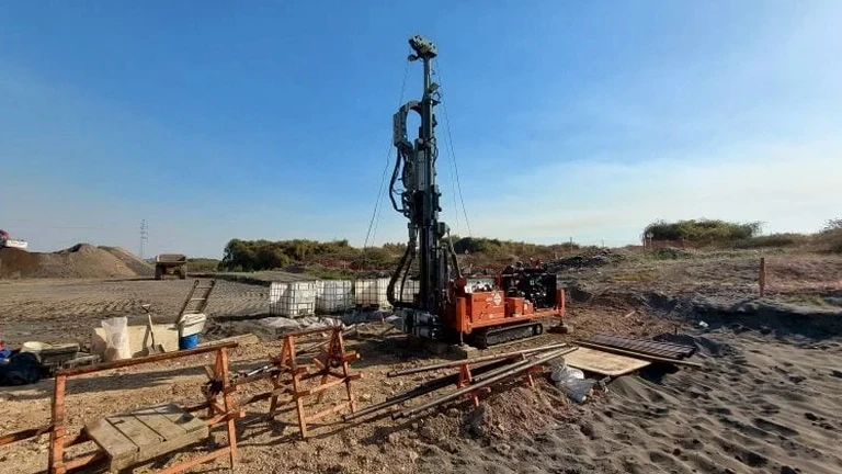
In Mississauga we often encounter stratigraphy that shifts from dense Halton Till to Queenston Shale within two metres of excavation, and that transition demands direct observation to confirm bearing assumptions before a footing ever gets poured. An exploratory test pit gives the engineer real soil faces to log, undisturbed Shelby tube samples from the clay seams, and bulk buckets for laboratory index testing, all while the excavator is still on site. We run these programs year-round, even when the thermometer drops well below freezing in February, because winter construction deadlines along the Highway 403 corridor do not wait for spring thaw. When the project involves a deep basement near the Credit River valley, we frequently pair the test pit with a slope stability assessment to understand how the cut geometry interacts with the weathered shale interface, and we schedule the MASW survey on the same mobilization to build a continuous shear-wave profile without requiring a separate traffic control setup.
Direct observation of the Halton Till to Queenston Shale contact in an open excavation removes more uncertainty than any indirect method can achieve.
Site-specific factors
Mississauga's post-war expansion transformed farmland and orchards into residential subdivisions at a pace that left behind unrecorded fill deposits, buried topsoil layers, and abandoned well casings that older borehole maps rarely capture. Opening an exploratory test pit on a site near Streetsville or Port Credit sometimes reveals exactly that kind of legacy condition: a three-foot seam of organic silt under clean granular fill, or a concrete rubble layer that deflects the auger but looks like competent ground on a drill log. The risk of missing a compressible layer is not theoretical; it translates into differential settlement that cracks partition walls and tilts floor slabs within the first five years of occupancy. By scheduling test pits early in the design phase, before the structural drawings are finalized, the project team gains the opportunity to over-excavate and re-engineer the subgrade instead of paying for underpinning later. The Ontario Building Code explicitly requires that foundation investigations identify deleterious materials, and a visual pit log backed by laboratory organic content testing provides that identification with a level of confidence that remote sensing alone cannot match.
Regulatory framework
Ontario Building Code (O. Reg. 332/12) – Foundation Investigation Requirements, CSA A23.3 – Design of Concrete Structures (foundation subgrade provisions), ASTM D422 – Standard Test Method for Particle-Size Analysis of Soils, ASTM D4318 – Standard Test Methods for Liquid Limit, Plastic Limit, and Plasticity Index, Ministry of Labour – Trenching and Excavation Safety (Regulation 213/91)
Frequently asked questions
What depth can an exploratory test pit reach in Mississauga's soil conditions?
In the Halton Till that covers much of Mississauga, test pits typically reach 3.5 to 5.0 metres with a standard excavator before encountering Queenston Shale refusal. Deeper excavations require shoring or a benched configuration, and the practical limit with a long-reach machine on stable ground is approximately 6 metres. For depths beyond that, we recommend supplementing the test pit program with borehole drilling to characterize the deeper stratigraphy.
How much does an exploratory test pit investigation cost in Mississauga?
A single exploratory test pit with full logging, photography, bulk sampling, and a summary report typically falls between CA$640 and CA$1,090, depending on depth, access constraints, and the number of samples collected. Mobilization and traffic control on busy corridors like Hurontario or Dundas Street may add to the base cost, and we provide a firm quote after reviewing the site plan and proposed pit locations.
What laboratory tests are performed on samples from a test pit?
We run particle size distribution by sieving and hydrometer (ASTM D422), Atterberg limits for plasticity index (ASTM D4318), and moisture content determination on every sample. When cohesive layers are encountered, we also perform unconfined compression or triaxial tests on Shelby tube specimens to obtain undrained shear strength parameters for bearing capacity calculations.
Is a test pit investigation sufficient for a building permit application in Mississauga?
Test pits provide valuable direct observation and sampling, but the City of Mississauga typically requires a comprehensive geotechnical investigation that includes boreholes to deeper bearing strata for most building permit applications. Test pits complement the borehole program by confirming shallow stratigraphy and allowing visual inspection of the subgrade, but they rarely replace the need for deeper drilling, especially where the shale bedrock surface is variable.